
Visalia ZIP Codes and Their Roles
The useful part of a Visalia ZIP code directory is its caution as much as its coverage. A ZIP code routes mail. It may cross neighborhoods, council districts, parcel lines, and municipal boundaries. A postal city label may continue across an unincorporated edge. Use the table as a starting geography, then verify a specific address through USPS and the parcel record.
| ZIP | Areas or service | Post-office context | Notes |
|---|---|---|---|
| 93277 | Central, south, and west Visalia street delivery | Visalia postal city | Broad delivery area crossing local geographies |
| 93291 | North, northwest, and portions of central Visalia | Visalia postal city | Includes Civic Center mailing addresses and growth areas |
| 93292 | East and southeast Visalia street delivery | Visalia postal city | May include county or unincorporated edges |
| 93278 | Visalia PO boxes | Visalia Post Office | PO-box-only and non-geographic for resident mapping |
| 93290 | PO boxes or legacy postal use | Visalia postal context | Verify every address; do not map as a neighborhood |
USPS public pages did not expose an authoritative boundary polygon or station-by-station list in crawlable text. Do not infer an exact boundary from a broad area description. A ZIP match is a delivery fact, not proof that a parcel lies inside Visalia.
Find Visalia Residents by ZIP Code
A ZIP search narrows a place before a record search begins. It does not replace the name, address, APN, or legal-purpose check. Use the sequence below when a family-history, directory, parcel, or civic question starts with a postal code.
- Verify the complete street address with the USPS ZIP lookup, including unit and directional details.
- Check the county or city parcel layer to determine APN, situs location, city limit, and nearby parcels.
- Choose the source that fits the question: assessor for property, deed index for recorded parties, permit file for project history, or library directory for a past listing.
- Use a name, date, case number, or other anchor inside that source rather than expecting a ZIP-wide resident export.
- Label the result as postal, parcel, owner, listed occupant, or affiliation evidence.
Assessor and permit systems primarily search address, APN, record, project, and date fields. ZIP filtering was not verified for those portals. A ZIP can be a useful first cut, but the street and parcel chain remains the stronger next step.
Visalia ZIP 93277: Central, South, West
Postal code 93277 is documented as broad central, south, and west Visalia street delivery. Those descriptive areas are not official neighborhood boundaries. A single ZIP can include different council districts, parcel patterns, service areas, and permit custodians. Use 93277 to verify a mailing route, then ask the parcel or city-limit layer what jurisdiction controls the address.
A directory result in 93277 still needs a name or street anchor. Property records may show the APN and owner mailing clue. A reverse directory may show a listed subscriber from a specific year. A permit file may show a project applicant. No ZIP lookup makes those records equivalent or proves who lives in the structure.
Visalia ZIP 93291: North and Northwest
Postal code 93291 covers north, northwest, and portions of central Visalia street delivery and includes County Civic Center mailing addresses. The research also describes north and northwest growth as a useful local context. It is still a postal pattern, not a city neighborhood roster. Parcel, annexation, and permit layers decide the actual government jurisdiction.
When a name search returns a 93291 address, preserve the exact address type. A Civic Center address belongs to an office, not a resident. A county parcel can sit near a city edge. Confirm the situs parcel and city limit before sending a permit or code question to the City of Visalia.
Visalia ZIP 93292: East and Southeast
Postal code 93292 serves east and southeast Visalia street delivery and includes the City Clerk address at 220 N. Santa Fe in the documented postal context. It may also include county or unincorporated edges. That mix makes a postal label a poor shortcut for deciding whether a record belongs to a city department or a county office.
For a 93292 address, use USPS for delivery verification, county GIS for parcel and jurisdiction context, and the city or county records portal for the existing file. If the question is about a person rather than a parcel, add a second identity anchor before relying on a directory or affiliation result.
Visalia ZIP Code PO-Box Contexts
ZIP codes 93278 and 93290 require special care. The documented context describes 93278 as Visalia PO boxes and 93290 as PO boxes or legacy postal use. A PO-box ZIP does not identify a residential parcel, a street, or a block. A box can receive mail for a person or organization whose physical location lies elsewhere.
- ZIP code
- A postal routing code for delivery service.
- ZIP+4
- An extended delivery code that narrows a route or delivery segment.
- PO-box ZIP
- A code used for box delivery rather than a geographic resident area.
- Unique ZIP
- A code assigned to a single high-volume or special-purpose delivery point.
- Carrier route
- A postal delivery sequence inside a broader ZIP area.
A person’s box address is not a parcel address. Do not use it to infer a home, neighbor, or city-limit location.
ZIP Code Boundaries Versus Visalia Limits
A “Visalia” postal city does not prove that a parcel is inside Visalia’s municipal boundary. City service and permit geography are set by the city-limit and jurisdiction layers, while county offices handle unincorporated parcels. Annexations can expand city jurisdiction without changing a postal code. The reverse can also happen: a postal code can cross several governmental areas while the city boundary stays fixed.
This mismatch changes where to request permit, code, planning, or public-record material. Confirm the parcel in City GIS or the Tulare County layer, then use the correct clerk or department. The Visalia street directory carries the address-keyed chain once a ZIP has narrowed the search to a specific street.
Boundary check. Postal city, ZIP, council district, parcel, school zone, and permit jurisdiction are separate labels. Record each one before comparing a resident clue.
Verify Visalia Delivery with USPS
The USPS address lookup is the authoritative address-to-ZIP check documented in the research. Tulare GIS and City online maps answer a different question: where the parcel lies, what APN it carries, and which jurisdictional layers overlap it. Do not use a Census ZCTA as a delivery boundary. A ZCTA is a statistical approximation and must be labeled as such.
City forms and information also connect users to parcel information, permit status, and online maps. Those tools are better for a named address than for a ZIP-wide roll. A ZIP code directory should describe the route, then hand the search to the parcel and record custodian.
Visalia city forms and information shows the municipal entry points that can follow a verified address.
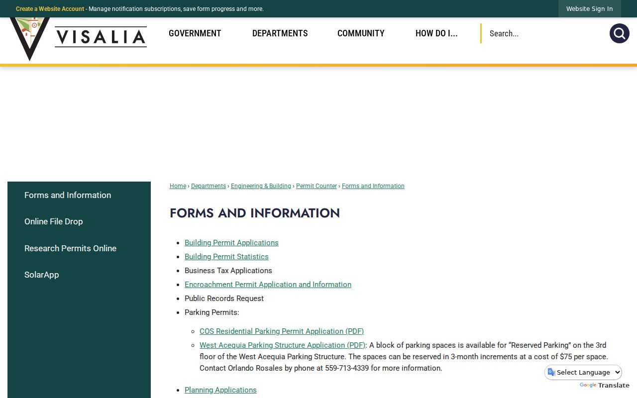
The city links are a jurisdictional handoff. They do not turn the ZIP into a list of residents.
Visalia Parcel Search Starts with APN
Tulare property tools are built around APN and street address, not a reliable ZIP-wide owner search. Use the situs address to obtain the APN, then compare the parcel card with the mailing address, values, use, and tax status. The tax roll may identify an assessee or owner where legally displayed. It does not list renters, household members, utility customers, or every person associated with an address.
The Recorder’s deed index is also more reliable by party and legal description than by postal address. A ZIP can help find the general area, but an APN or exact legal description is the bridge to a property trail. A whole-street or ZIP-wide owner list may require a properly scoped request and still cannot include protected fields.
Visalia ZIP Statistics Are Not Delivery Rules
Census ZCTAs and population statistics can help describe scale, but they are not USPS delivery boundaries. Census estimates place Visalia at 146,541 residents on July 1, 2025, with 47,089 households in 2020-2024 and an average household size of 3.02. Those figures are city or statistical measures, not a count of people inside any one ZIP code.
Visalia address work also uses directional prefixes and a street grid, while the parcel and legal description remain the stronger archival keys. County tax-sale material explains that APN digits refer to map book, map page, block where applicable, and the individual parcel. That number can join a postal clue to a property record without turning the postal area into a resident count.
Use the City GIS city-limit layer and county parcel map before sending a permit question to an office.
Postal patterns in the research associate 93277 with central, south, and west areas, 93291 with north and northwest areas, and 93292 with east and southeast areas. Those descriptions provide orientation only. For a parcel or person, verify the exact address and custodian. Never infer a city limit, household, or relationship from a statistical ZIP shape.
Keep Visalia ZIP Results in Context
A postal code can help sort a newspaper search, a family-history query, or a set of addresses. It can also mislead when a PO box, county edge, office address, or old postal label is mistaken for a home. Preserve the date of the USPS result and the record’s own address type. Then compare the name with an independent source.
California privacy rules still apply inside a ZIP. Safe at Home substitute addresses, restricted voter data, DMV information, confidential vital records, and sealed court matters do not become open because the postal code is known. A ZIP code directory is a geographic index, not permission to identify or contact every person in an area.
Note: When the ZIP and city-limit answers conflict, keep both labels and ask the responsible custodian which jurisdiction controls the record.