
Find a Visalia Street by Address
A practical street directory walkthrough moves from a stable parcel key to records that answer narrower questions. The address may identify land, an owner, a permit applicant, or an old subscriber. It does not automatically identify everyone inside a structure. Start with one address and keep the search tied to the same APN, lot, block, or legal description as the chain grows.
- Normalize the street number, directional prefix, street name, unit, and ZIP, then save spelling variants.
- Run the situs address through ParcelQuest and note the APN, map context, owner if displayed, and separate mailing address.
- Open the Tulare parcel layer, zoom to the lot, and click adjoining parcels one at a time rather than assuming a bulk-radius result.
- Use the APN and current owner to search the Recorder’s grantor and grantee index for the acquisition deed and earlier seller.
- Check Visalia permits for project dates, then ask the Annie Mitchell History Room for reverse directories when the question reaches past occupants.
Label each result as ownership, geography, project evidence, or listed occupancy. That simple label keeps a property record from being rewritten as proof of residence.
Visalia Street Address to APN
The county parcel system is the first working layer for a Visalia street directory. ParcelQuest searches by APN or street address and supplies current assessor map and secured-roll value information. Tulare County GIS adds parcel geometry, subdivision references, lot or block context, and jurisdiction layers. The public map is an approximate reference, not a boundary survey. A parcel number is valuable because a postal address can be shortened, directional words can be omitted, and old numbers can change.
The parcel card may distinguish assessee or owner name, situs address, owner mailing address, APN, tax-rate area, assessed land and improvement values, use, exemptions, tax status, assessment year, and a transfer or change date when maintained. The tax roll does not list every resident. A mailing address may be a trust, manager, post office box, or another property. A same-address match can support an owner-occupancy clue, but it does not prove who lives there.
- Parcel
- A mapped unit of land identified by the county’s APN.
- Situs address
- The physical location of the property, distinct from tax mail.
- Plat
- A recorded map showing a subdivision, lots, streets, or blocks.
- Criss-cross directory
- A reverse directory arranged by street and number, often naming a subscriber or occupant.
For a short visual record of the assessor and parcel path, the county’s Assessor service hub is the relevant source.
The Tulare County Assessor service page shows the county property and map entry points used before a street is walked parcel by parcel.
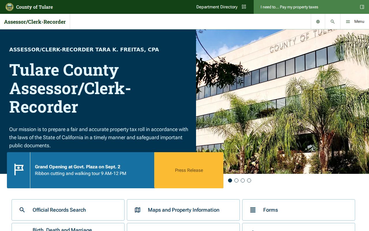
The hub is an orientation point. The address search itself still needs a situs address or APN and a careful check of the parcel record.
Visalia Street ParcelQuest Fields
The county-authorized property search is useful because it begins with two keys rather than an assumed household name. Use the street address when the parcel is known, then preserve the APN for the Recorder and GIS steps. The live vendor labels can change, and public owner-name searching is not promised. Do not build a whole-street owner list from a feature the portal does not document.
| Field or key | Type | Required | Use |
|---|---|---|---|
| APN or parcel number | Text | One key | Search the county parcel identifier; preserve its punctuation. |
| Street address | Text | One key | Use the situs address and try number or name variants. |
| Tax bill number | Alternate text | Optional | Useful when a tax bill supplies the number. |
| Owner name | Uncertain capability | Do not assume | Obtain ownership from the parcel result or counter as allowed. |
| Search or reset | Buttons | Action | Run or clear the current query. |
The map and tax record should be read together. The assessor establishes taxable ownership and value. It does not establish occupancy. Homeowner exemptions can support an owner-occupancy clue, but they are not a household directory. Keep the distinction visible in notes and any later comparison.
Browse Visalia Street Parcels
The Tulare public parcel layer supports address or APN selection, map pan and zoom, parcel and jurisdiction layers, identify clicks, and spatial or geometry queries. Its public attributes include OBJECTID, GlobalID, APN11, APN12, APN15, assessment type, description, section, township, range, area, shape acreage, and links to detailed property information and county parcel maps. The service has a 2,000-record query maximum.
It does not contain owner, mailing-address, or resident fields. In a consuming ArcGIS map, use the county address locator, click the target polygon, then click each parcel sharing a side or rear boundary and the parcels across the street. Follow each property hyperlink separately. A buffer or radius export was not verified, so a street directory should not imply bulk precision that the service does not promise.
Note: Map adjacency is a navigation aid; it is not a survey and does not decide a legal boundary dispute.
The public Tulare parcel service exposes the geometry and APN fields that make an address-by-address browse possible.
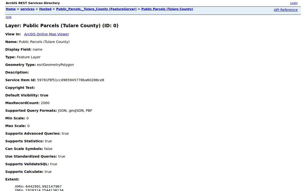
The layer supplies map context, while names and mailing details must be checked in the linked assessment record or another custodian source.
Visalia Records Along a Street
Address-keyed sources overlap, but none has the same purpose. The table below is the core coverage map for a Visalia street directory. It keeps a parcel, deed, permit, and reverse-directory result from being treated as interchangeable evidence. The Recorder is often person-keyed rather than address-keyed, so use the parcel and legal description to join it back to a street.
| Record set | Keeper | What it shows | Access |
|---|---|---|---|
| Assessment roll | Tulare Assessor | APN, assessee, situs and mailing clues, values | Web, counter, or request |
| Cadastral GIS | County and City | Parcel shape, address context, district layers | Free map browse |
| Deed index | County Recorder | Grantor, grantee, instrument, date, legal description | Index plus paid copy routes |
| Permit and planning file | City of Visalia | Project address, applicant, contractor, work and dates | Online status and CPRA request |
| Reverse directory | Local libraries | Listed subscriber or occupant by number and street | History-room volumes |
| Voter file | Tulare Elections | Authorized registration data only | Restricted statutory request |
For current work, the APN ties the parcel to the tax record and gives the Recorder a better search key than a postal address. For older work, the reverse directory and newspaper layer may show a renter or household member absent from ownership records. For all periods, write down the source’s exact role and date.
Visalia Deeds by Grantor and Grantee
Recorded deeds are a chain of title, not a list of residents. Start with the current owner or assessee and find the acquisition deed. Capture the recording number, date, grantor, grantee, instrument type, and legal description. Search the seller as an earlier grantee, then confirm the same APN, lot, block, or legal description. A deed of trust or lien may appear in the same trail without transferring title. A reconveyance releases a deed of trust. A quitclaim can change an interest without a standard sale.
The Recorder’s name and document index offers online search and purchase, while Room 103, lobby terminals, microfiche, and mail requests provide fallbacks. The county does not publish the online cutoff in the inspected instructions. If the web search stops, use the counter and do not convert an empty result into a claim that no earlier deed exists.
Images appear through a purchase or application workflow rather than as free proof attached to every index row. SSNs and protected military-discharge material do not belong in a public search. A whole-street trail may require many separate owner and legal-description searches.
ParcelQuest address search is the proper first step before the Recorder’s person-keyed deed trail.
Preserving the APN beside the deed result helps avoid a same-name property mistake.
Visalia Street Permits as Records
The City’s Accela permit search has Building, Engineering, Planning, and Fire modules. Its Building general search accepts record number, record type, project name, street number range, directional prefix, street name and type, unit type and number, and start and end dates. The inspected form defaulted to a three-year date window. Search results and the historical cutoff require live checking, so a street directory should not claim that every old permit is online.
A permit application, contractor, owner declaration, site plan, or final inspection can help date construction and explain a change at a parcel. It does not prove that the applicant occupied the address. If the online result lacks the desired owner name or date, request an existing permit jacket through the City Clerk with a street address and narrow date span. Permit Counter services are at City Hall East, 315 E. Acequia, (559) 713-4444, with front-counter hours listed as 7:30 to 4:30.
The Visalia permit search provides the address and date fields used in this part of the chain.
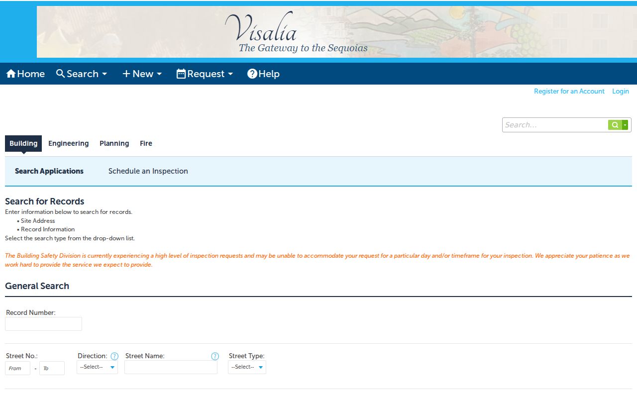
Permit records add project history. They remain separate from the parcel’s ownership and from any current occupant question.
Visalia Reverse Street Directories
Modern assessor and deed tools are strongest for land and title. A criss-cross or reverse directory is the historical address-to-name tool. Ask the Annie R. Mitchell History Room for a Visalia city directory, telephone directory, reverse directory, surname, address, and exact years. The room has microfilm, yearbooks, newspapers, photos, maps, a research form, and staff support when staffing permits. A telephone book may give a subscriber, phone, and address but omit occupation and exclude unlisted households.
The State Library’s Visalia research guide points to city-directory and telephone-book databases and asks researchers to search both Visalia and Tulare. The Hillman room in Tulare adds city and phone directories, surname files, census, and documented Visalia Daily Delta and Visalia Morning Delta microfilm from 1892 through 1928. A reverse entry can place a name at a number for a year, but absence may reflect a gap, exclusion, a move, a death, or a name change.
The full historical collection treatment belongs on the Visalia city directory page. The street directory uses those volumes only for the occupant layer that current parcel sources cannot show.
Bridge Old Visalia Street Numbers
The inspected official sources did not identify a citywide Visalia renumbering year. Do not invent one. Compare each directory’s street index with the 1891 Sanborn sheets, subdivision maps, recorded legal descriptions, and successive assessor maps. If the number does not line up, flag the mismatch and preserve the street name, block, nearby names, and legal description while seeking a better bridge.
A “Visalia” postal city may lie outside the municipal boundary in unincorporated Tulare County. Conversely, an annexation can expand city service or permit jurisdiction without changing a ZIP code. City GIS, county parcel layers, permit custody, and the legal description are more reliable than a postal label alone. This matters when a street record moves from City Clerk custody to a county office.
Note: A historic address should be treated as a hypothesis until a map, directory, deed, census, or permit confirms the same place.
Visalia Voter-by-Street Access
California’s My Voter Status is an identity-gated self-lookup. It asks for matching identity information and returns the voter’s own status, party preference, polling place, ballot status, and election details. It is not a public name-and-address mode for a Visalia street directory. Tulare voter files require an eligible statutory purpose, a requester identity, a data scope, a secure-maintenance plan, a wet signature, and approval.
Street address, phone, driver-license or ID number, and precinct number are not ordinary CPRA disclosures. Protected and pre-registered voter information stays restricted. A qualifying request must use the file only for the declared purpose. The lawful way to understand a block is to use parcel, deed, map, permit, and library sources that are actually open for the question at hand.
Limits of a Visalia Street Directory
This address index cannot show every person who lives at an address. Renters and household members may never appear in an owner roll or published reverse directory. Utility customer identity is not an ordinary public list. DMV addresses are protected by the Driver’s Privacy Protection Act. Safe at Home participants, confidential marriage and adoption records, victims, and other protected people may be absent or represented by a substitute address.
Commercial neighbor and people-finder tools compile fragments and may conflate same-name people or stale associations. A fee does not make a result authoritative. Correct an official mistake with the originating custodian, and use public contact channels for personal research. A map can show a parcel and a deed can show a party, but neither licenses repeated unwanted contact.
Lawful use. Visalia address records are for personal, lawful research such as property history, genealogy, or civic curiosity. Do not use them to stalk, harass, intimidate, or harm anyone; California Penal Code section 646.9 and related laws can apply.